Once the desk study has established what is known about a site and identified the key uncertainties that need to be resolved, the Phase 2 site investigation can be designed and carried out. This is the physical investigation of the ground — the stage where people, equipment, and samples bring the subsurface into view. A well-designed Phase 2 investigation is targeted, proportionate, and purposeful: every investigation point, every test, and every sample should be there for a reason, contributing to the resolution of a specific question about the ground conditions.
The Phase 2 investigation is the most visible and costly part of the ground investigation process, and it is the part that clients and project teams tend to focus on. But its value depends entirely on the quality of the thinking that preceded it. A Phase 2 investigation designed without adequate desk study is likely to be misdirected, inefficient, and incomplete — and may need to be followed by further investigation to fill the gaps. One designed on the basis of a thorough Phase 1 assessment, by contrast, can provide exactly the information needed, at appropriate depth and resolution, within a defined budget.
Planning the Investigation
The planning of a Phase 2 investigation involves a series of interrelated decisions: where to locate investigation points, what methods to use, how deep to go, what in-situ tests to carry out, and what samples to take for laboratory testing. These decisions should be driven by the information requirements of the project — specifically, by the geotechnical parameters needed for design and the ground-related risks that need to be assessed or ruled out.
The layout of investigation points should be designed to characterise the ground conditions across the full extent of the site, with additional points targeted at areas of particular uncertainty or risk. For a building project, investigation points should be located beneath the planned foundations; for a linear infrastructure project such as a road or pipeline, a regular grid or transect of points along the route may be more appropriate. The number and spacing of investigation points should be sufficient to identify the principal ground units and to detect significant lateral variability in ground conditions.
Before any fieldwork can begin, a number of practical matters must be addressed. A utility search must be carried out to identify the location of underground services — gas, electricity, water, telecommunications, and drainage — and the investigation must be planned to avoid damaging them. If the site is in an area with known contamination, a suitable method statement and health and safety plan must be prepared to protect workers from exposure. Planning permission or permitted development rights may be required for certain types of investigation work. Landowner and occupier consents must be obtained, and access arrangements must be agreed.
Borehole Methods
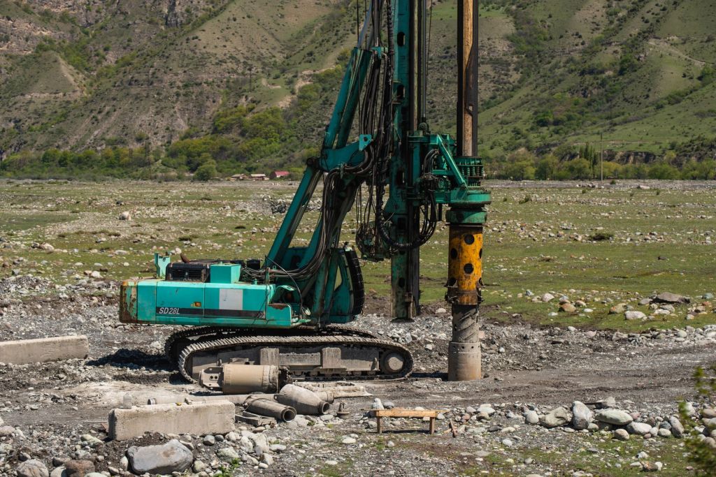
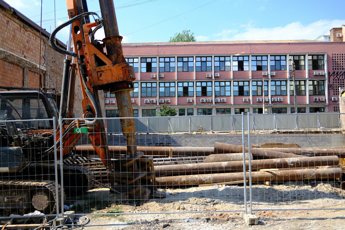
Boreholes are the workhorse of Phase 2 site investigation, capable of reaching significant depths and providing a wide range of information. In the UK, the two principal borehole methods are cable percussion boring and rotary drilling, each suited to different ground conditions and different information requirements.
Cable percussion boring (also known as shell and auger boring) uses a heavy chisel or shell tool suspended on a cable and raised and dropped repeatedly to break up and remove material from the borehole. It is effective in most soft soils and can penetrate to depths of 30–50 metres in suitable conditions. The disturbed nature of the samples recovered by this method means it is not suitable for obtaining undisturbed samples for laboratory strength testing; however, it can be used to collect disturbed bulk samples for contamination assessment, classification testing, and SPT testing. Cable percussion bores are typically 150–200 mm in diameter.
Rotary drilling uses a rotating drill bit to cut through material, with the cuttings flushed to the surface by drilling fluid (water, air, or drilling mud). It is essential for investigating hard rock, and it can also be used in softer materials where the preservation of sample quality is important. Rotary coring — the recovery of continuous cylindrical cores of rock or soil — provides detailed information about the stratigraphy, structure, and engineering properties of the materials encountered. Core recovery and Rock Quality Designation (RQD) are key parameters recorded from rotary cores in rock investigations.
Trial Pits and Trenches
Trial pits are excavations typically made by a tracked hydraulic excavator. They are quick, relatively cheap, and can expose a large area of the ground profile for inspection. In suitable ground, they can reach depths of 4–5 metres safely, and in some circumstances (with appropriate shoring) may be taken deeper. Trial pits are particularly valuable for investigating the nature and variability of made ground and fill, for exposing the interface between different geological units, and for examining the condition of existing foundations or buried structures.
The inspection and logging of a trial pit requires care and competence. The exposed faces should be described systematically, recording the depth and nature of each stratum encountered, any geological features such as fissures or laminations, the presence of groundwater, and any evidence of contamination. Representative samples should be collected from each identified stratum for laboratory testing. Photographs should be taken of all faces before backfilling.
Dynamic probing is another rapid and cost-effective investigation method, particularly useful for preliminary investigation or for investigating sites with limited access. A steel rod with a cone tip is driven into the ground using a standard weight and drop height, and the number of blows required to advance the rod a standard distance is recorded. The result is a continuous penetration profile that can be interpreted in terms of relative soil consistency and correlated with other investigation data.
Groundwater Monitoring
Groundwater conditions are a critical aspect of almost every site investigation. The presence, depth, and pressure of groundwater affects the engineering properties of soils, the feasibility of excavation, the design of retaining structures and drainage systems, and the risk of flooding and uplift. In contaminated land investigations, groundwater is often the primary pathway by which contaminants migrate from source to receptor.
Standpipe piezometers — simple perforated tubes installed in boreholes — can be used to measure the depth to the water table under equilibrium conditions, typically after a waiting period of at least 24 hours and ideally after several days or weeks. For more detailed monitoring, particularly in low-permeability soils where equilibration times are long, pneumatic or vibrating wire piezometers can be used to measure pore water pressure directly.
Groundwater monitoring should be carried out at multiple times during and after the investigation, including during wet and dry seasons if possible, to capture seasonal variation. The depth to groundwater at the time of boring or pitting should be recorded in all field logs, and the conditions under which readings were taken (depth of borehole, use of drilling fluid, weather conditions) should be noted as they can significantly affect the measured values.
Geophysical Investigation
Geophysical methods offer the possibility of investigating the ground without drilling, using measurements of physical properties such as electrical resistivity, seismic wave velocity, or electromagnetic response. These methods can cover large areas quickly and cheaply, and can provide a continuous picture of subsurface conditions between borehole points. However, they measure physical properties rather than engineering properties directly, and their interpretation requires care and specialist expertise.
Electrical resistivity tomography (ERT) is particularly useful for investigating lateral variability in ground conditions, detecting buried voids or features, and mapping contaminated ground. Ground-penetrating radar (GPR) is effective for shallow investigations, detecting buried structures, utilities, and voids in the top few metres of the ground. Seismic refraction and seismic reflection methods can characterise the depth to bedrock and the stiffness of different soil and rock layers. Geophysical methods are most valuable when used in conjunction with intrusive investigation, providing context and continuity between borehole points.
Specification, Supervision, and Quality Control
The quality of a Phase 2 investigation depends critically on the quality of the specification and the supervision of fieldwork. The investigation should be specified in writing, setting out the locations, depths, methods, tests, and sampling requirements for each investigation point. In the UK, the standard reference for specification of ground investigation is BS 5930:2015 (Code of Practice for Ground Investigations), which provides comprehensive guidance on investigation methods, sample types, and test procedures.
Fieldwork should be supervised by a competent geotechnical professional who can make real-time decisions about changes to the investigation scope in response to what is found. If unexpected ground conditions are encountered — a buried channel, a zone of soft ground, an unexpected change in stratigraphy — the supervisor must be empowered to modify the investigation plan accordingly, extending boreholes, adding investigation points, or collecting additional samples as needed.
The outputs of the Phase 2 investigation — borehole logs, trial pit records, in-situ test results, laboratory test data, and groundwater monitoring records — form the factual dataset on which all subsequent geotechnical interpretation and design will be based. Their quality and completeness are therefore of the utmost importance. Every observation, every measurement, and every sample must be carefully recorded in the field, and the records must be reviewed and checked before the investigation is complete. Good factual data, consistently recorded and professionally presented, is the foundation of good geotechnical practice.


Leave a Reply