Groundwater is one of the most important, most variable, and most frequently underestimated factors in geotechnical engineering. It influences virtually every aspect of ground behaviour: it controls effective stress and therefore the strength and stiffness of the ground; it governs drainage and consolidation; it creates uplift pressures on structures; it can cause or exacerbate slope instability, foundation settlement, and retaining wall failure; it affects the feasibility and cost of excavation; and it can create significant construction hazards. Yet groundwater conditions are often poorly characterised in ground investigations, inadequately considered in design, and overlooked until they cause problems during construction. This post provides an introduction to the fundamental concepts of groundwater hydrogeology that every geotechnical practitioner should understand.
The importance of groundwater in geotechnical engineering cannot be overstated. Karl Terzaghi, the founder of modern soil mechanics, recognised from the beginning that water in the ground was as important as the soil itself, and the principle of effective stress — which relates the mechanical behaviour of soils and rocks to the difference between total stress and pore water pressure — is the central organising concept of geotechnical engineering. A soil that is strong and stable at low pore pressure can become weak and unstable at high pore pressure, even with no change in the applied loading. Understanding where groundwater comes from, how it moves through the ground, and how it varies with time is therefore not a specialist hydrogeological interest: it is a core geotechnical competence.
Water Table
The water table is the surface within the ground at which the pore water pressure is equal to atmospheric pressure. Below the water table, the ground is fully saturated and pore water pressures are positive (greater than atmospheric). Above the water table, in the zone of aeration or vadose zone, the ground is partially saturated or unsaturated, and pore water pressures are negative relative to atmospheric (matric suction). The water table is not a sharp boundary — it is a surface that can be defined precisely in coarse-grained soils with good permeability, where capillary rise is small, but in fine-grained soils, the capillary fringe above the water table may extend several metres, creating a zone of full saturation with negative pore pressures.
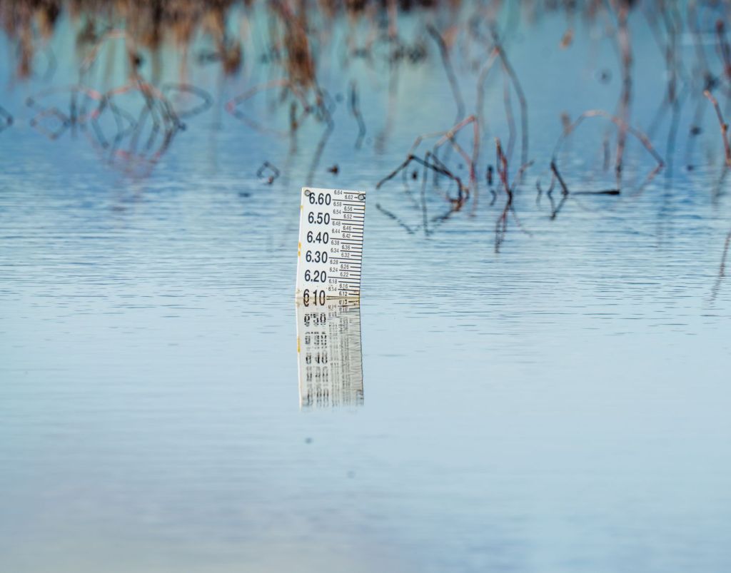
In a borehole, the water table is identified by the depth at which water stands after sufficient time has been allowed for equilibration. In coarse-grained soils with high permeability, equilibration is rapid — the standing water level in the borehole reflects the water table within hours. In fine-grained soils with low permeability, equilibration can take days, weeks, or months, and the water level recorded at the end of a drilling shift may significantly underestimate the true water table depth. For this reason, standpipe piezometers — tubes installed in boreholes with a permeable response zone at the level of interest — are used to monitor water levels over time and establish the true equilibrium groundwater conditions.
The water table fluctuates in response to rainfall recharge, seasonal evapotranspiration, abstraction from wells, changes in land use, and construction activities. In the UK, water tables are typically highest in late winter and spring, following the autumn and winter recharge period, and lowest in late summer and autumn, after the growing season has depleted moisture from the soil and evapotranspiration has reduced recharge. The seasonal range of water table fluctuation varies enormously depending on the geology and climate: in chalk aquifers in southern England, for instance, the water table can fluctuate by 10 metres or more between wet and dry years, which has profound implications for infrastructure design and construction.

Perched Groundwater
Perched groundwater occurs when a body of water is held above the regional water table by an impermeable or low-permeability horizon — a “perching layer” — that prevents downward drainage to the main saturated zone. The most common situation is a lens or layer of clay or silt within an otherwise permeable formation: water percolating downwards through the upper permeable material accumulates on top of the impermeable layer, forming a localised saturated zone that may be completely disconnected from the regional groundwater system below. Perched water tables can also form on top of clay-rich fill, on bedrock surfaces within weathered overburden, or where made ground overlies natural ground of lower permeability.
Perched groundwater is one of the most frequent sources of unexpected problems in ground investigations and construction. A single borehole may encounter only the perched water level and miss the regional water table entirely — or vice versa — giving a misleading picture of the overall groundwater regime. In a slope, a perched water table above a clay layer creates a zone of positive pore pressures that can significantly reduce effective stress and trigger instability, even when the regional water table is deep. In a basement or tunnel, perched water may cause inflows that were not anticipated from the ground investigation data. Perched groundwater can also be highly variable in space and time: it may be present in one borehole and absent in a neighbouring one, and it may be present only during or after wet weather.
Identifying perched groundwater in a ground investigation requires careful observation of water strikes during drilling, installation of multiple piezometers at different levels in the ground profile, and monitoring over a sufficient period to distinguish perched conditions from transient drilling-related effects. Standpipe piezometers installed with sand-gravel response zones targeted at specific horizons, separated by bentonite seals, can be used to monitor several different groundwater horizons in a single borehole — a technique known as a multi-level standpipe installation. The identification and characterisation of perched groundwater is particularly important for the design of basements, cut slopes, and underground structures.
Artesian Conditions
Artesian conditions occur when groundwater in a confined aquifer is under sufficient pressure that it would rise above the ground surface if a borehole or well were drilled into it. A confined aquifer is a permeable stratum — typically a sandstone, limestone, chalk, or gravel — that is overlain and underlain by impermeable or low-permeability strata (aquitards), so that the water within it is under a pressure head that reflects the elevation of the recharge area rather than the local topography. The piezometric surface — the level to which water would rise in a borehole penetrating the confined aquifer — may be well above the ground surface, creating artesian conditions.
Artesian conditions can create significant engineering hazards. In a borehole or excavation that penetrates the confining layer, the artesian pressure can drive water upwards through the base, potentially causing heave, piping, and loss of ground stability. Artesian conditions are particularly dangerous in deep excavations: if the confining layer at the base of the excavation is not thick enough to resist the upward artesian pressure, the base can heave and fail catastrophically — a phenomenon known as hydraulic heave or base failure. The design of deep excavations in areas of known artesian conditions must include a detailed assessment of the artesian head, the thickness and integrity of the confining layer, and the need for dewatering or ground treatment to manage the artesian pressure.
Artesian conditions are well known in several parts of the UK. The London Basin contains a confined chalk and Thanet Sand aquifer system with artesian pressures that historically allowed wells to flow freely at the surface — before over-abstraction during the nineteenth and twentieth centuries reduced heads significantly. The Mersey Basin, the Lincolnshire Limestone, and parts of the Yorkshire and Nottinghamshire coalfield also exhibit artesian or sub-artesian conditions in specific geological situations. Ground investigations in areas where artesian conditions are known or suspected should include deep piezometer installations to measure artesian heads, and construction programmes should incorporate appropriate contingency measures for managing artesian inflows.
Seasonal Variation
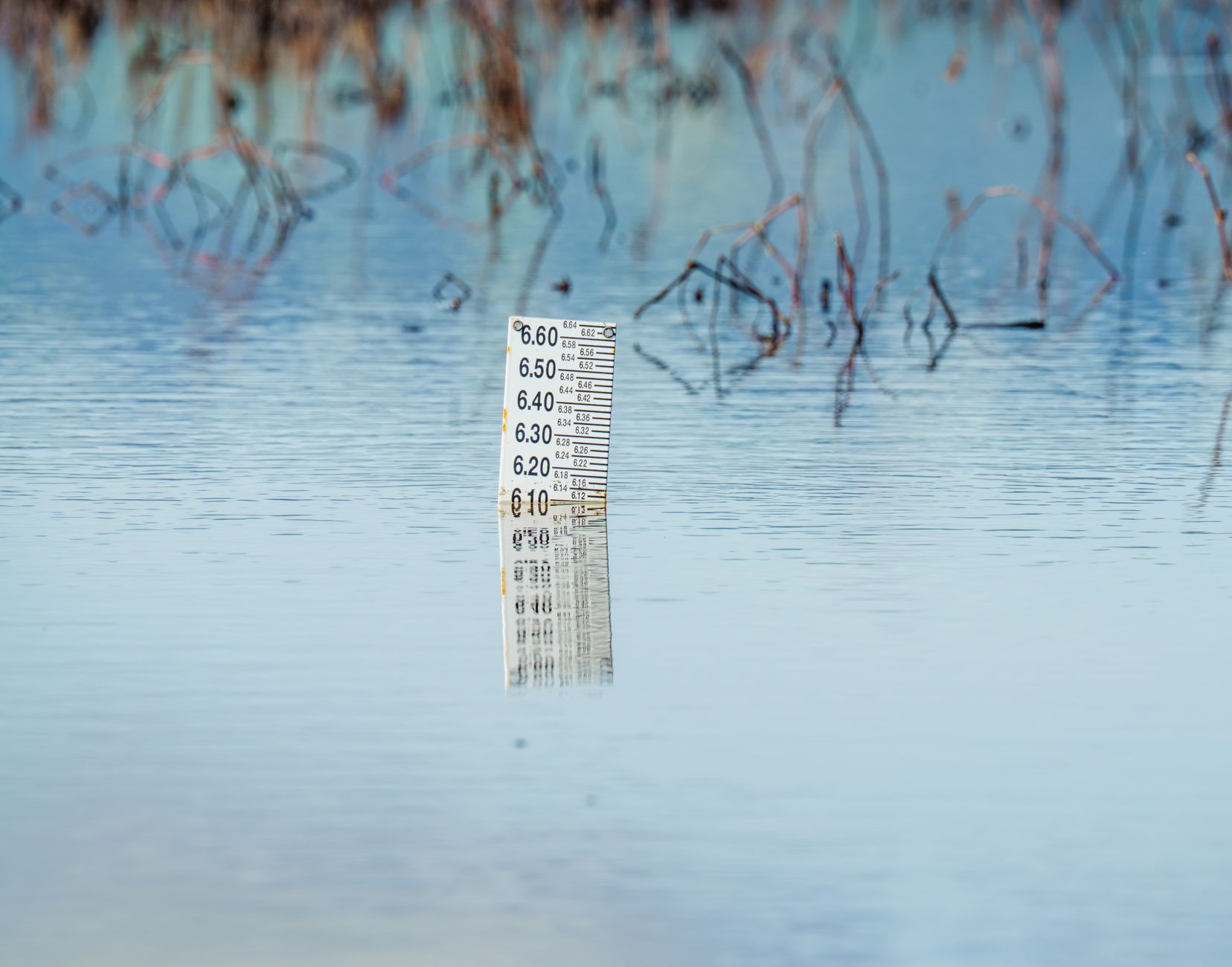
Groundwater levels are not static: they vary with the seasons, with longer-term climatic cycles, and with human influences such as abstraction, drainage, and land use change. In the UK, the groundwater recharge cycle is driven primarily by the balance between rainfall and evapotranspiration. During the summer months, evapotranspiration by vegetation consumes most of the rainfall, and net recharge to the groundwater system is small or negative. During the winter months, evapotranspiration is low and excess rainfall percolates through the soil zone to recharge the aquifer — the “winter recharge” period. The annual cycle produces a regular pattern of rising water tables in autumn and winter and falling water tables in spring and summer, though the magnitude and timing of the cycle vary considerably with geology and climate.
Seasonal variation in groundwater level has direct implications for the design of virtually all geotechnical structures. Retaining walls and basements must be designed for the maximum anticipated groundwater level, not the level measured at the time of the ground investigation. Slopes must be assessed for stability at maximum groundwater conditions, which may produce a factor of safety considerably lower than that calculated for average conditions. Foundation designs in shallow soils must account for the range of groundwater levels and the effect of seasonal drying and wetting on the moisture content and volume of shrinkable clays. Dewatering designs for construction excavations must be based on the maximum expected groundwater level during the construction period, which depends on the time of year and the duration of the works.
Long-term changes in groundwater level also need to be considered in design. In the UK, the recovery of groundwater levels in urban areas following the cessation of large-scale industrial abstraction has led to rising groundwater levels in several cities, including London, Birmingham, and Liverpool. This groundwater rebound has caused problems for existing infrastructure — particularly underground railways, tunnels, and deep basements designed on the assumption of lower groundwater levels. Conversely, climate change projections suggest that some parts of the UK may experience increased drought frequency and reduced groundwater recharge in the future, with implications for water resources and for the behaviour of shrinkable clay soils during prolonged dry periods. Both rising and falling groundwater trends are relevant to the design life of major infrastructure projects.
Why Groundwater Changes Everything
The phrase “groundwater changes everything” is not hyperbole — it is a fundamental truth of geotechnical engineering. The effective stress principle, formulated by Terzaghi in 1923, states that the mechanical behaviour of a soil or rock is governed not by the total stress (the weight of the overlying material plus any applied load) but by the effective stress — the total stress minus the pore water pressure. This deceptively simple relationship has profound consequences. A saturated clay slope that is stable at low pore pressures following a drought can fail catastrophically when pore pressures rise after prolonged rainfall. A foundation design based on drained soil properties can be completely wrong if the soil drains more slowly than assumed and undrained conditions prevail during loading. A retaining wall that is adequate for dry conditions can fail in bending or overturning when the water table rises behind it.
Groundwater also controls construction feasibility and cost. An excavation that is straightforward in dry conditions can become a major engineering challenge when below the water table. Temporary works — sheet piles, bored pile walls, dewatering systems, grout curtains — to manage groundwater in construction can represent a significant proportion of total project cost, particularly in urban areas where groundwater lowering must be carefully controlled to avoid settlement of neighbouring structures. The unexpected encounter with groundwater during construction — whether through misjudgement of the water table level, failure to identify perched or artesian conditions, or seasonal rise of groundwater during the construction period — is one of the most common causes of cost overruns and programme delays on infrastructure projects.
For these reasons, the characterisation of groundwater conditions is one of the most important objectives of any ground investigation. It is not sufficient to record a single groundwater level at the end of a drilling shift and move on: long-term monitoring with properly installed piezometers, investigation of multiple groundwater horizons, assessment of seasonal variation, and consideration of the groundwater regime in the context of the regional geology and hydrogeology are all essential components of a thorough investigation. The investment in good groundwater data at the investigation stage is almost always repaid many times over in more reliable design, fewer construction surprises, and better long-term performance of geotechnical structures. Groundwater does indeed change everything — and the competent geotechnical engineer respects it accordingly.


Leave a Reply